Free files have usage limitations, and you must attribute Vecteezy.
$0
Get generous rights to use items with confidence on commercial projects.
Per month, billed each year ($108). Unlimited downloads.
Get maximum usage rights and legal guarantee on big commercial projects.
For unlimited usage of this vector.
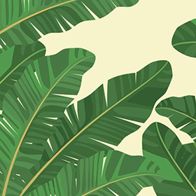
View more work from this artist: akhtaransari. Need more coverage or exclusive rights? Contact Us. Want to learn more about our licenses? Read our FAQs
While free users can access our free library, we reserve the best of the best for our Pro users. Pro content is only downloadable through Pro subscriptions and credits.
You must add Vecteezy.com in the final credits
You must add Vecteezy.com in the final copy
You must add Vecteezy.com to final design
Copy and paste the below code for attribution:
Don’t want to give attribution? Join Pro to get our entire library with generous usage rights, so you can use items with confidence.
Tell us how we can help you
Log in with your team's identity provider: